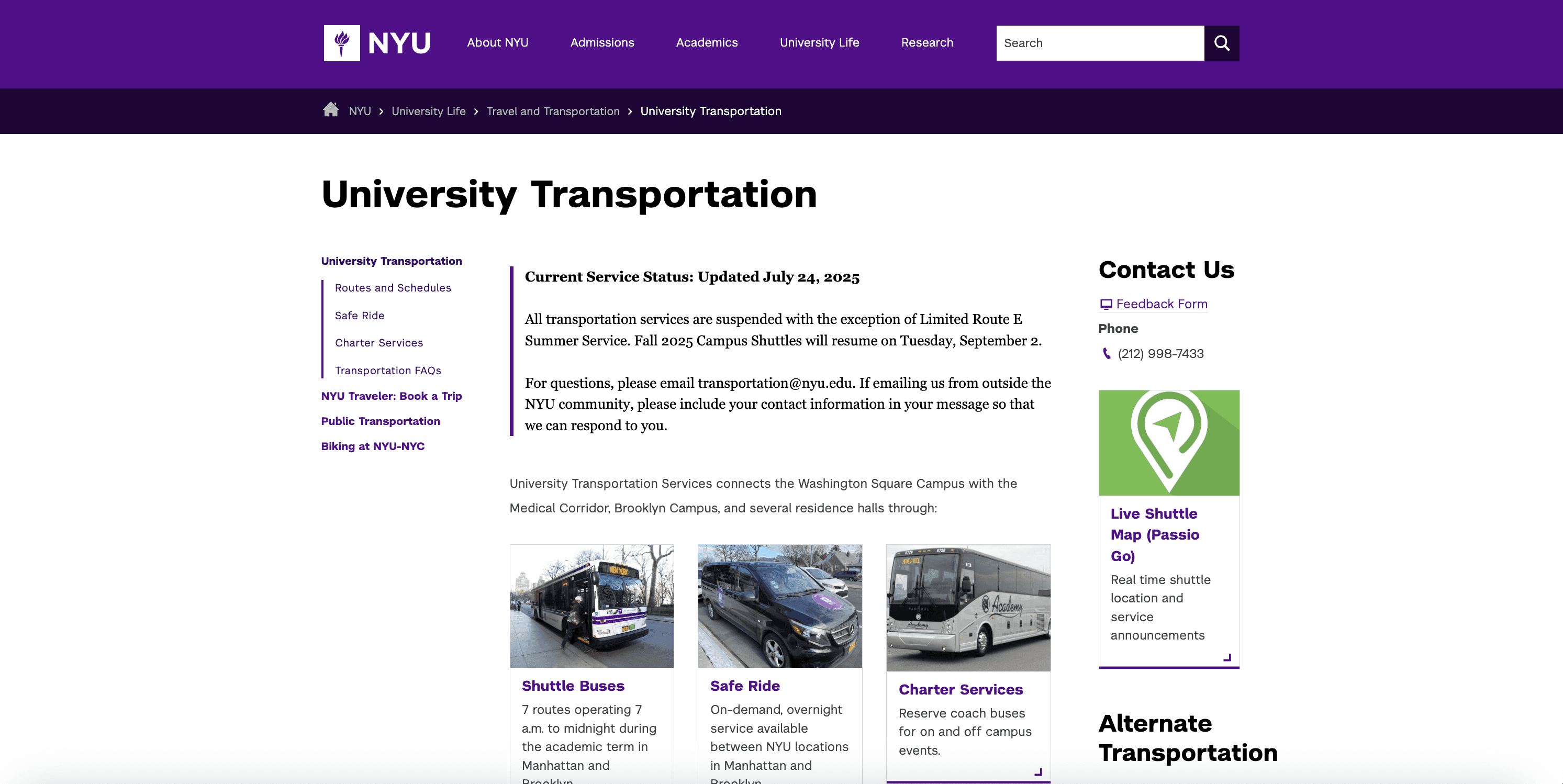
New York University Transportation
Identifying core issues in our website and designing and devloping a impactful solution

Role
UX Product Strategist
Tools
Figma
Google maps API
CMS Software
Team
Manager
CMS Team
Passigo
Skills Leveraged
Product Design
Product Strategy
UX Research
How might we offer users an easier experience when looking for bus routes on our website
Problem Statement
Solution
The NYU Transportation Department received consistent feedback from students struggling to locate bus stops and navigate campus bus routes effectively. They approached our team to identify and address these pain points, aiming to enhance the usability and accessibility of the bus route information on their website.
We designed an interactive map to provide students with a clear and intuitive way to navigate NYU's bus routes. The map visually displays bus routes and stop locations in real-time, enabling students to quickly understand where they are and plan their travel efficiently
Research
To better understand the challenges students faced when navigating NYU’s bus system, I created a user empathy map to capture their feelings, behaviors, and frustrations. Many students expressed feeling lost about where to stand for the bus, often relying on Google Maps as a workaround to locate stops. They reported seeing little to no clear indication of where the bus would actually pick them up, which left them feeling uncertain and frustrated. This led many to think there should be an easier way to navigate the bus system. These insights revealed a consistent gap: students lacked clarity and confidence in using NYU’s transportation. The empathy map helped define this problem space and guided the design of the interactive map to directly address these pain points.
Design
Features
To meet the user’s needs for visualizing and locating bus stops, I began designing a few ideas to showcase to my team as potential solutions. My first idea was to simply add a photo description underneath each bus route on the website, while my second idea was to create an interactive map for users to visualize their bus routes. After showcasing my ideas, my team and I decided it would be better to combine the two ideas into one. For the interactive map, I began my wireframes in Figma, then transferred the final design into Google Maps due to its easy customization and accessibility for users who are all familiar with using Google products.
Interactive Bus Routes: Users can explore an interactive campus map that clearly visualizes real-time bus routes and stop locations.
Contextual Stop Details: Selecting a bus stop reveals precise information, including the stop’s location and guidance on where to stand for pickup.
Offline Accessibility: The map can be downloaded, allowing students and visitors to navigate campus bus routes seamlessly,even without internet access.

Outcomes + Results metrics
Since launch, the NYU Interactive Map has reached between 500K and 1M visitors, reflecting strong adoption across the campus community. The new features led to a 25% increase in user satisfaction and a 70% reduction in user complaints, significantly improving the overall navigation experience. In addition, the platform generated over 1 million engagements with the interactive map, underscoring its role as a valuable tool for students and visitors in navigating campus more efficiently.


Design Process
Define
Identifying Problem
Research
Data Reports
Design
Developing a Solution
Fidelity
User Journey
Results
Outcomes
Impact
Metrics
1
2
3
4

The Process
Research
Identifying Problems
Desk Research
Competitor Analysis
Synthesis
User Persona
Ideation
Developing a Solution
Moodboard
Low Fidelity
User Journey
User Flow
High Fidelity
Further Explorations
Final Designs
Keynote Prototype
SwiftUI Prototype
Figma Prototype
Reflection
User Feedback
Next Steps
1
2
3
4
5